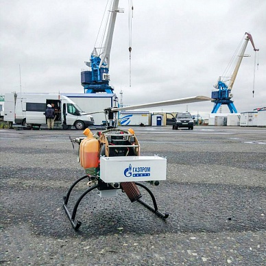
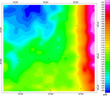
Преимущества программного обеспечения для беспилотников:
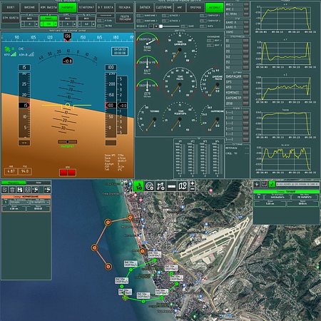
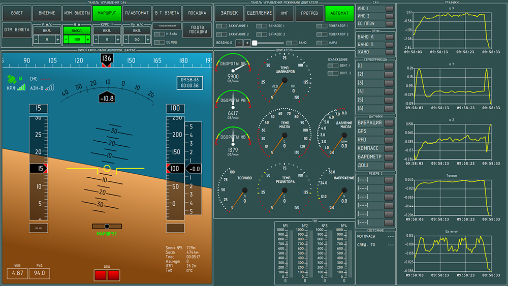
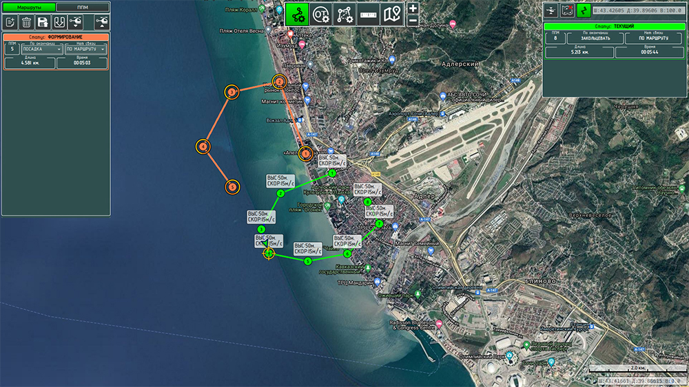
ПО позволяет визуализировать и анализировать все характеристики беспилотника, отображать маршрут полета и отслеживать его местоположение на картографических планах местности в режиме онлайн.Интерфейс программного обеспечения для беспилотных авиационных систем «Радар ммс» интуитивно понятен и максимально удобен для пользователя.
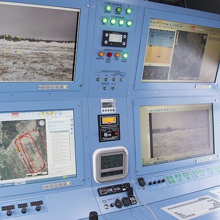
Программное обеспечение собственной разработки «Радар ммс», устанавливается на рабочих местах операторов в станциях внешнего пилота.
Функционал программного обеспечения для БВС:
ПО служит для обеспечения всех этапов эксплуатации БВС и выполняет следующие функции:- автоматизированное формирование маршрута полета БВС
- построение пространственной (трехмерной) модели местности
- отображение структуры воздушного пространства в районе выполнения полетов БВС
- моделирование полета с учетом сформированной пространственной модели местности
- мониторинг состояния БАС (встроенная система контроля)
- возможность одновременной загрузки нескольких маршрутов на БВС
- работа с оперативными точками в реальном времени (пролет, кружение, висение)
- отображение данных телеметрии, формирование команд управления БВС и аппаратурой целевой нагрузки
- отображение данных от аппаратуры целевой нагрузки БВС с привязкой к цифровой карте местности
- возможность послеполетной обработки данных (в том числе «сшивки» фотоматериалов)
- возможность задания оператором пользовательских настроек
Обучение работе с программными средствами
Дополнительно вы можете заказать обучение работе с программным обеспечением и станциями внешнего пилота, управлением беспилотником с аппаратурой целевой нагрузки.Специалисты проведут обучение на симуляторе СВП, проинструктируют в части проведения полетов, моделирования полетного задания и помогут с его первым выполнением. Заказчику предоставляется полный пакет эксплуатационной и технической документации.


